 Auckland
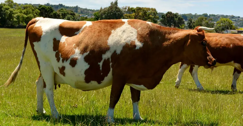
Te Ara i Tautahi / Ambury Regional Park
Māngere Bridge, South Auckland
A working city farm on the Manukau Harbour with farm animals, milking and lamb feeding in season, and more than 86 bird species.
CampingDogs in some areas
Regional parks are free, council-run green spaces, usually within an hour or two of a city. Many have beaches, farmland, bush tracks and campgrounds. Browse all 39 parks across 5 regions, filter by region or see them on a map.
Only Auckland, Bay of Plenty, Hawke’s Bay, Wellington and Canterbury have regional park networks. For national parks and Great Walks, see the Department of Conservation. Planning a long weekend? Check the public holiday dates.
AucklandMāngere Bridge, South Auckland
A working city farm on the Manukau Harbour with farm animals, milking and lamb feeding in season, and more than 86 bird species.
 Auckland
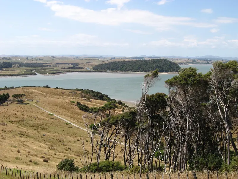
Tapora, Kaipara Harbour
A gifted farm park on a quiet Kaipara Harbour peninsula, with big native trees, extensive horse trails and a campground.
 Auckland
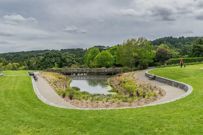
Manurewa, South Auckland
64 hectares of gardens with over 9,000 plant species, sculpture paths and the Potter Children's Garden.
 Auckland
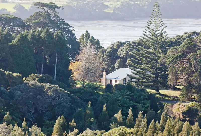
Āwhitu Peninsula, Manukau Harbour
Sheltered sandy beaches, wetlands and farmland on the Manukau Harbour, with two campgrounds and free BBQs.
 Auckland
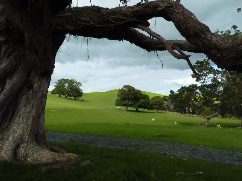
Whakakaiwhara Peninsula, Clevedon
A pōhutukawa-fringed coastal farm peninsula with 360-degree Hauraki Gulf views, a pā site walk and sandy bays.
 Auckland
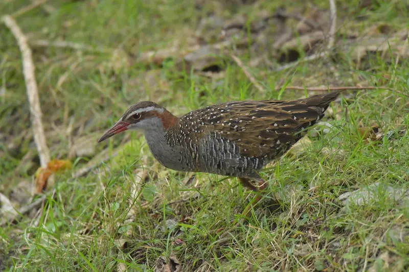
Port Fitzroy, Great Barrier Island
A predator-controlled forest sanctuary on Aotea / Great Barrier Island with a kauri canopy platform and Sunset Rock views.
 Auckland
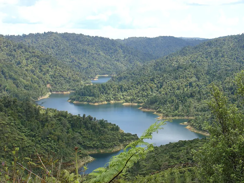
Hūnua, south-east Auckland
Auckland's largest native forest, with Hūnua Falls, four dams, long tramps, mountain bike trails and five campgrounds.
 Auckland
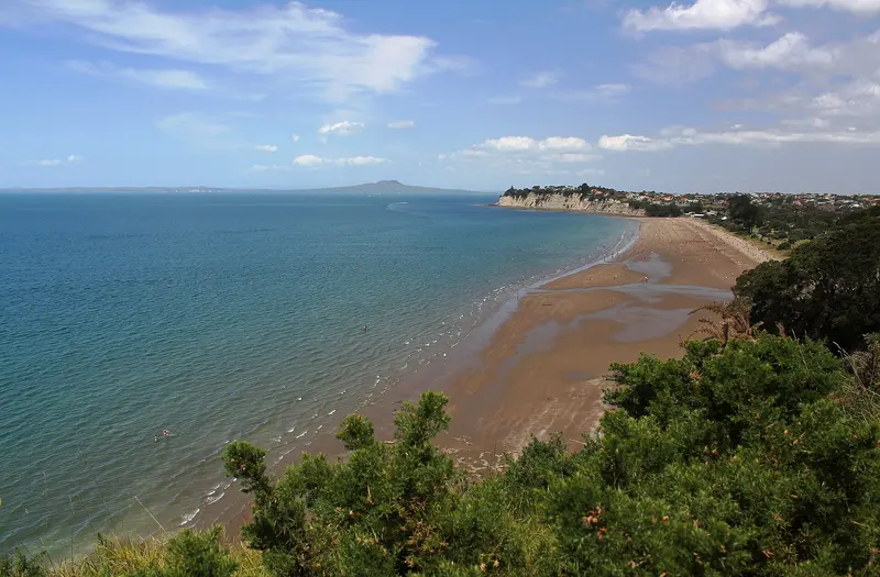
Long Bay, North Shore
A busy 1 km patrolled beach beside the Long Bay–Okura Marine Reserve, with a coastal walk to quieter northern bays.
 Auckland
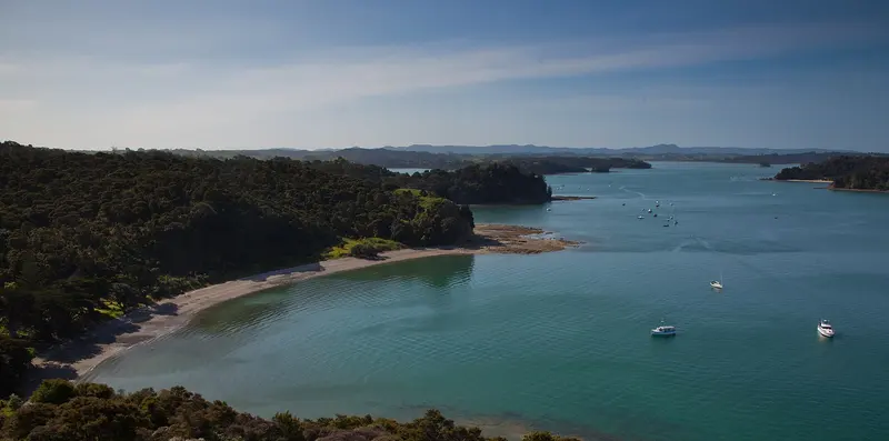
Mahurangi Harbour, near Warkworth
Sheltered bays, historic Scott Homestead and walk-in or boat-in campgrounds around the Mahurangi Harbour.
 Auckland
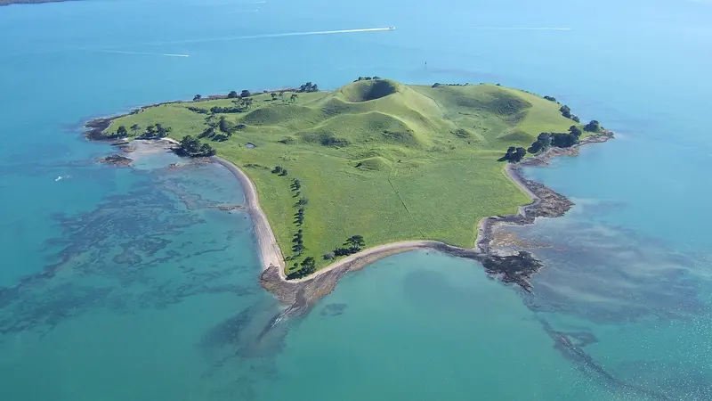
Inner Hauraki Gulf (boat access only)
A small volcanic island and Auckland's first island regional park, reachable only by boat or kayak.
 Auckland
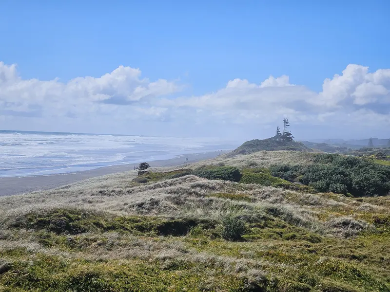
Muriwai, west Auckland
A wild black-sand surf beach and one of New Zealand's few mainland gannet colonies.
 Auckland
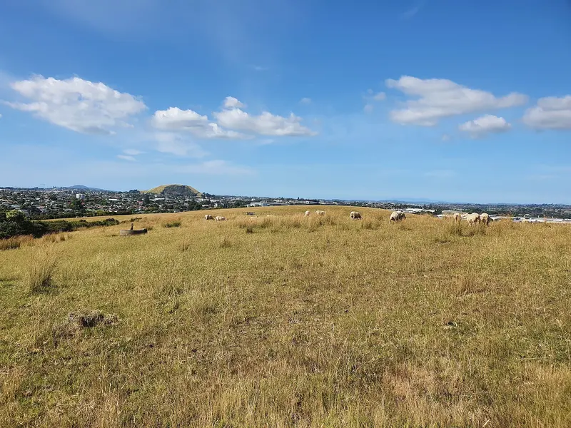
Mount Wellington, central Auckland
A central-city farm park and rare pre-European Māori settlement site with open views and on-lead dog walking.
 Auckland
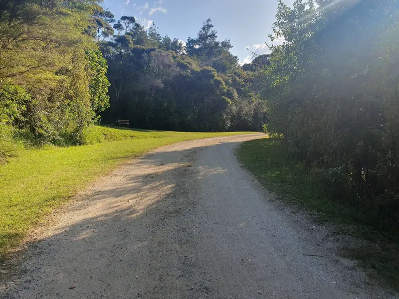
Ōrere Point, Firth of Thames
Auckland's smallest regional park, with beach access and off-leash dog walking at all times.
 Auckland
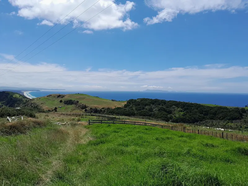
Pākiri, north of Leigh
A small walk-in park with uninterrupted views of Hauturu-o-Toi / Little Barrier Island. No facilities.
 Auckland
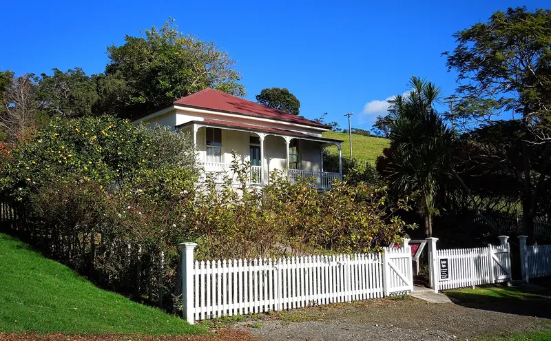
Mahurangi Peninsula, near Snells Beach
A calm tidal beach, historic farm buildings, Mullet Point pā walk and three bookable baches on Kawau Bay.
 Auckland
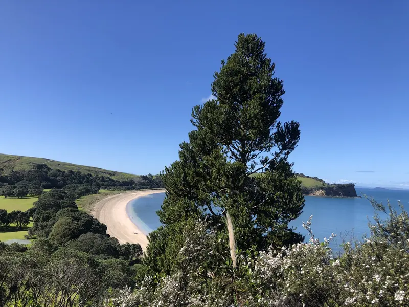
Whangaparāoa Peninsula
Auckland's most visited open sanctuary, with predator-free birdlife, Te Haruhi Bay beach and campground.
 Auckland
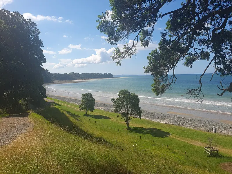
Ōrere Point, Firth of Thames
A coastal farm park with a family beach, three campgrounds, historic Ashby Homestead and an off-leash dog beach.
 Auckland
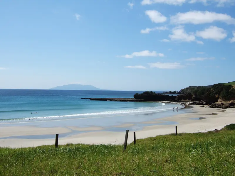
Tāwharanui Peninsula, near Matakana
White-sand beaches, a marine reserve and a predator-free open sanctuary where kiwi live wild.
 Auckland
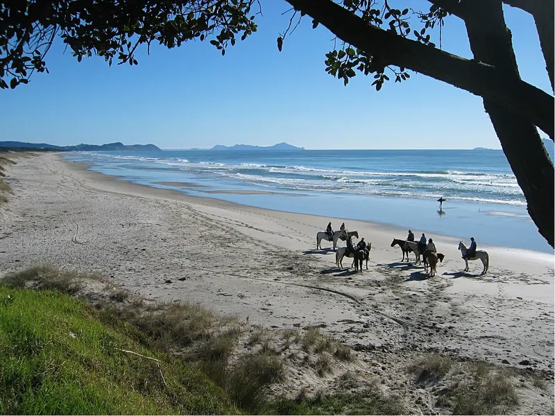
Te Ārai, south of Mangawhai
Long surf beaches, dune lakes, Te Ārai Point and a retired quarry swimming hole.
 Auckland
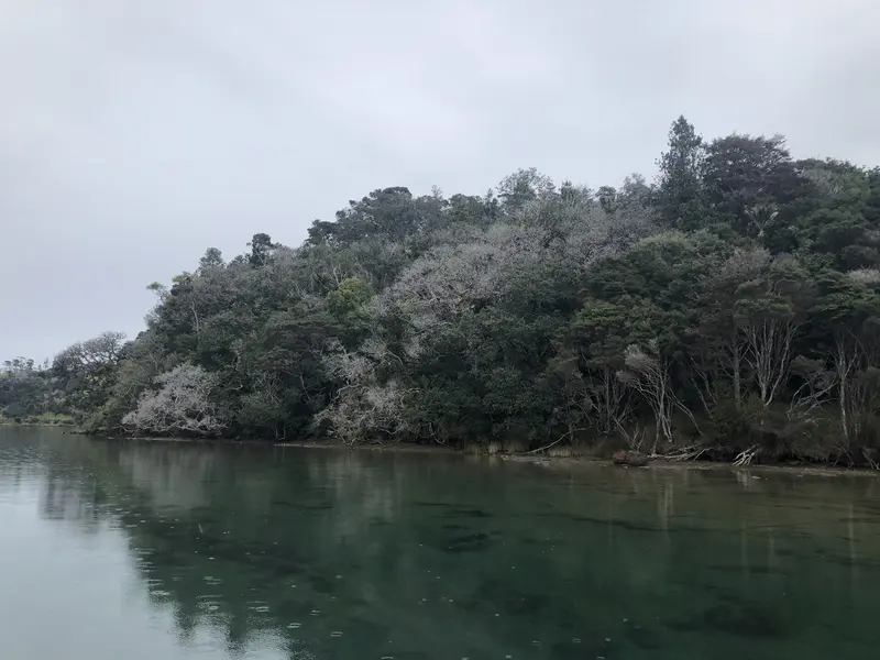
Between Mahurangi West and Wenderholm
A walk-in or boat-in beach with back-country camping, reached across a tidal estuary.
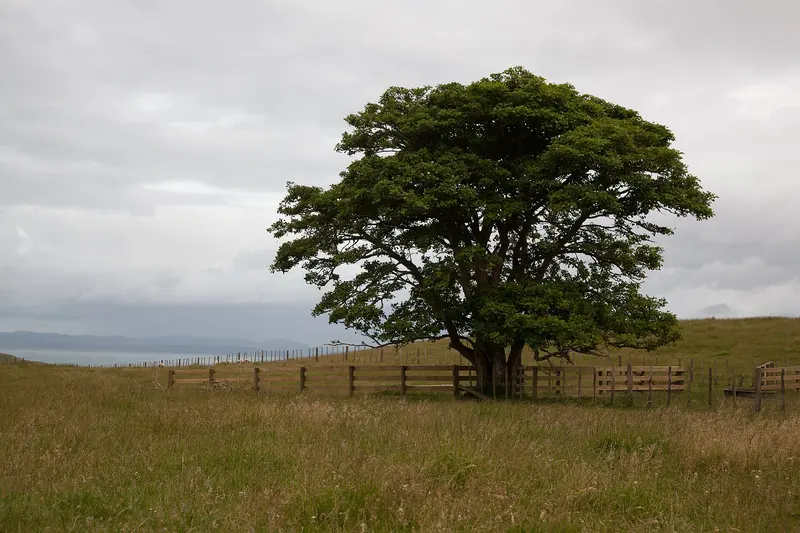 Auckland
South Head, Kaipara Harbour
A 340-hectare farm park with one of the Kaipara Harbour's best beaches and access to Lake Rototoa.
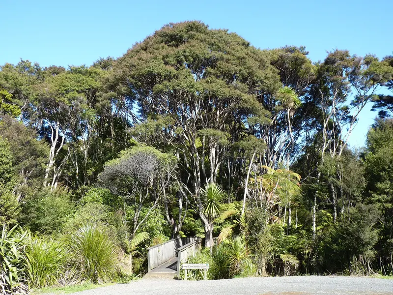 Auckland
West Auckland
16,000 hectares of rainforest and wild west coast beaches, including Piha, Karekare, Bethells and Cascade Kauri.
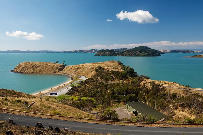 Auckland
Kawakawa Bay, south-east Auckland
A recreation-focused park with mountain bike trails, disc golf, wharf fishing and a sea kayak campground.
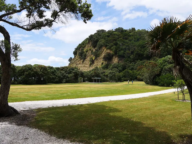 Auckland
Pūhoi River mouth, Waiwera
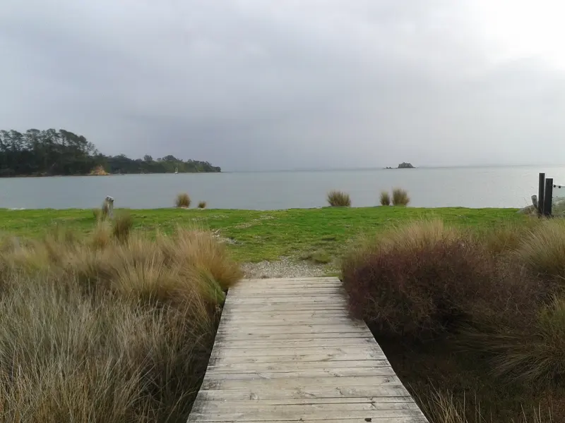
Auckland's first regional park: a pōhutukawa-shaded beach, coastal forest walks and historic Couldrey House.
 Auckland
Rocky Bay, Waiheke Island
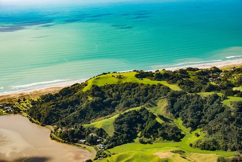
Waiheke Island's regional park, with a long sheltered beach, foreshore campground and remarkable birdlife.
 Bay of Plenty
Ōhiwa, near Ōpōtiki
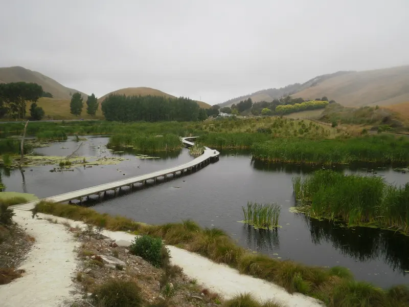
A headland of six historic pā between Ōhiwa Harbour and Bryans Beach, with a forest climb and beach loop.
 Hawke's Bay
South of Hastings on SH2
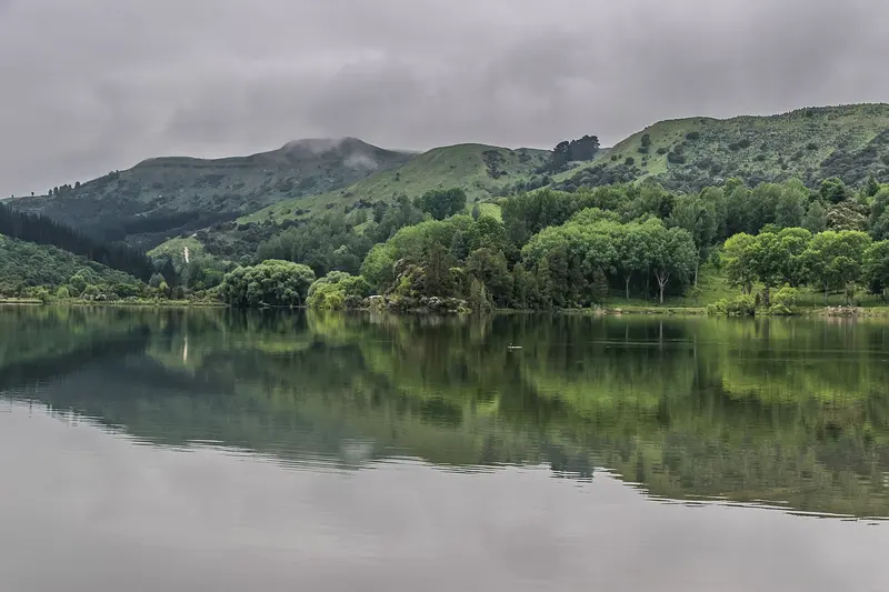
One of Hawke's Bay's last large wetlands, with boardwalks, a lookout and rare birds such as the bittern.
 Hawke's Bay
Tūtira, north of Napier
Lakeside camping and walks beside Lakes Tūtira and Waikopirō, 41 km north of Napier.
 Hawke's Bay
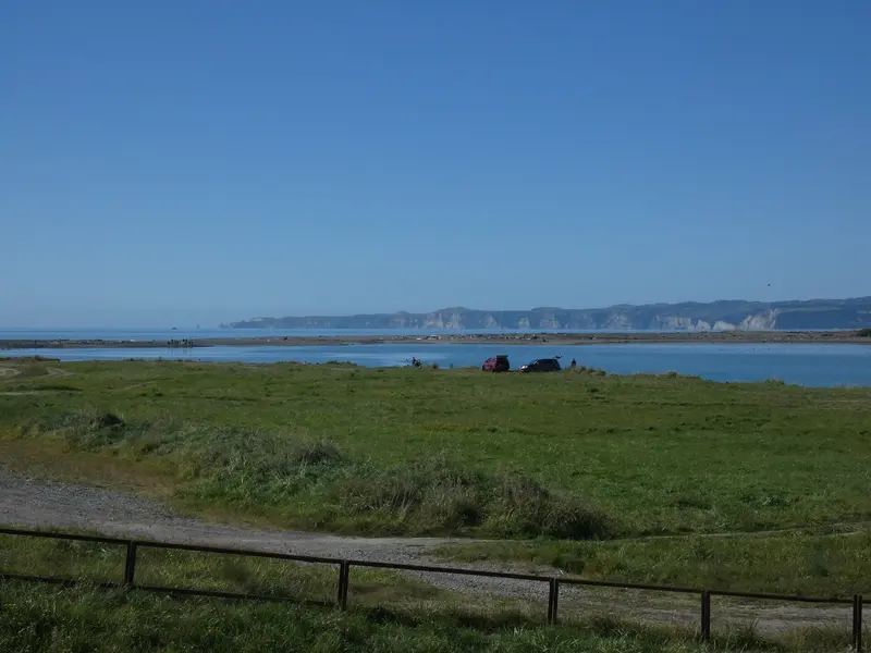
Awatoto to Haumoana coast
A 5 km coastal park with the Ātea a Rangi star compass, estuary birdlife and river water sports.
 Wellington
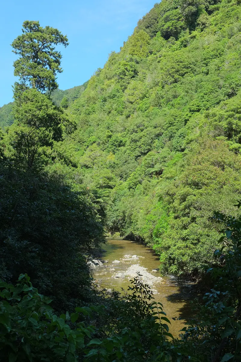
Between Upper Hutt and Kāpiti
15,000 hectares of rugged forest, home of the Karapoti Classic mountain bike race, with 4WD and trail bike access.
 Wellington
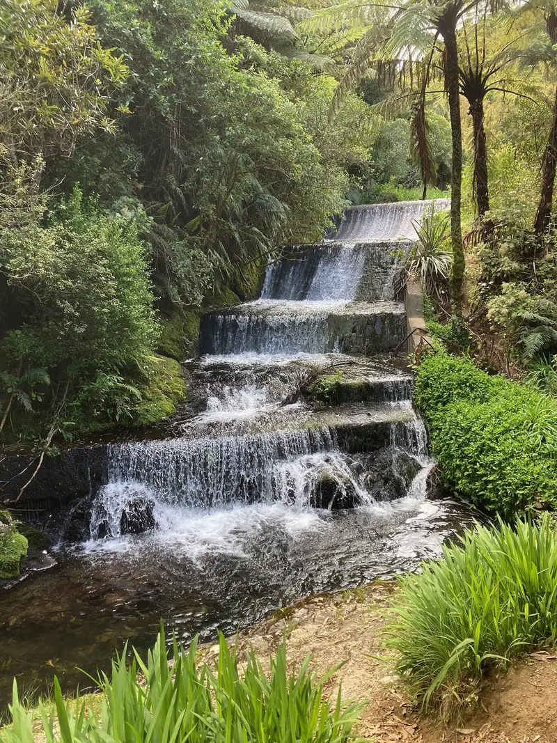
Between Porirua and Lower Hutt
Wellington's largest regional park, with Korokoro Dam, WWII bunkers, a mountain bike area and Dry Creek camping.
 Wellington
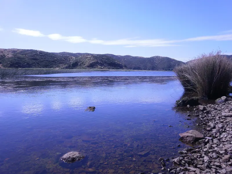
Eastbourne to Baring Head
Three areas in one: Eastbourne's bush, the Pencarrow lighthouses and lakes, and Baring Head's lighthouse complex.
 Wellington
Kaitoke, north of Upper Hutt
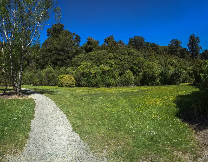
Rainforest, river swimming holes, the Rivendell filming site and a big riverside campground with campfires.
 Wellington
Remutaka Range, north of Upper Hutt
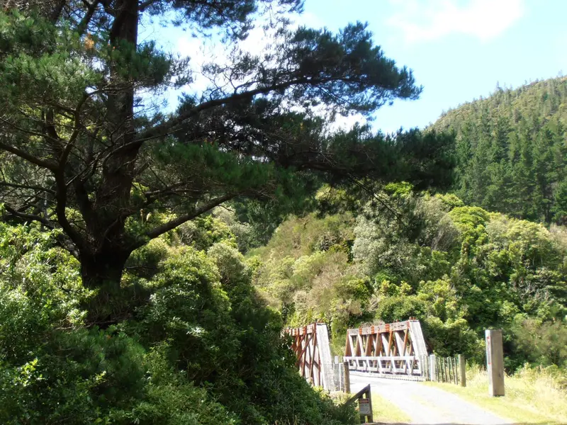
Home of the Remutaka Rail Trail's historic tunnels and bridges, plus Tunnel Gully and Mt Climie.
 Wellington
Paekākāriki to Raumati South, Kāpiti Coast
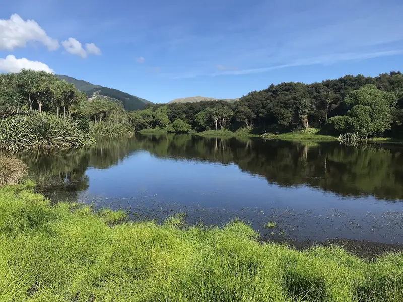
The Kāpiti Coast's last natural dunes, with a sealed cycle trail, beach, trams and WWII US Marines history.
 Wellington
Wainuiomata, Lower Hutt
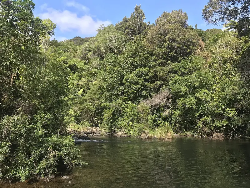
The gateway to pristine lowland forest, with the 1884 Lower Dam, a water history museum and river swimming.
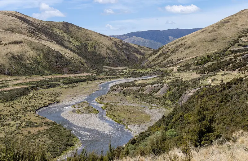 Canterbury
Rangiora, North Canterbury
A riverside park along the Ashley River / Rakahuri with the Rakahuri Trail to Waikuku Beach.
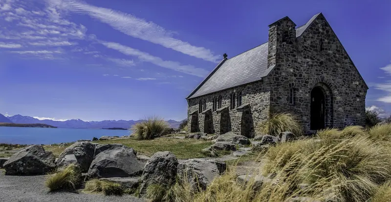 Canterbury
Lake Tekapo, Mackenzie Basin
Lakeside pine forest with 24 km of trails, a pump track, disc golf, a fenced dog park and swimming beaches.
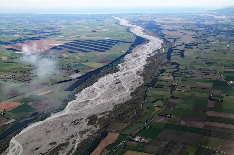 Canterbury
Northern Christchurch
15,000 hectares along the Waimakariri River, including McLeans Forest mountain biking and Kaiapoi Island.
35 of the 39 parks above, pinned at the centre of each park's area. Pins aren't entrances or car parks, so open a park's guide for access details.
Not on the map yet, because we couldn't verify a location: Akatarawa Forest, Pākuratahi Forest, Wainuiomata Regional Park, Ashley Rakahuri Regional Park.
Location data: Auckland Council Park Extents (CC BY 4.0); OpenStreetMap contributors (ODbL 1.0).