Takapō / Lake Tekapo Regional Park: Trails, Dog Park & Lakeside Pines
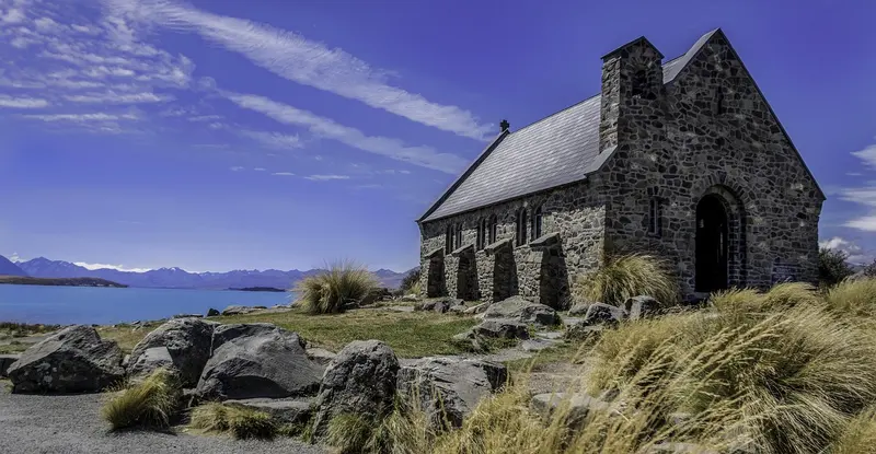
Photo by agmclellan on Pixabay (Pixabay Content License)
Park at a glance
- Region
- Canterbury
- Location
- Lake Tekapo, Mackenzie Basin
- Managed by
- Environment Canterbury
- Dogs
- Dogs on lead
- Camping
- No
Overview
Takapō / Lake Tekapo Regional Park is Environment Canterbury's southernmost regional park, on the south-eastern shore of Lake Tekapo (Takapō) just east of the township. It covers about 165 hectares of conifer forest and lakeshore, with views across the turquoise lake to the Two Thumb Range.
Ngāi Tahu used Takapō as a source of waterfowl and tuna (eel). European settlers ran part of Tekapo Station here from the 1850s. From 1957, pines (mostly Corsican, lodgepole and ponderosa) were planted to stop soil erosion and drifting sand, which is why the park is a forest today. ECan took over stewardship in 1989. The Lake Tekapo Recreational Park Society helps look after it with volunteers.
Getting there
- By car: The main car park is off Lilybank Road
- On foot or by bike: From Lake Tekapo village along the lake edge, or over Cowans Hill
- Facilities: Two picnic areas with tables, and wheelchair-accessible toilets at the Station and Homestead car parks
Things to do
Walking and mountain biking
About 24 km of shared tracks wind through the forest and along the lake, graded easiest, easy and intermediate for mountain bikes. There are also bike-only tracks and a pump track. The upper terraces can be rocky. E-bikes are welcome on the shared tracks.
Disc golf
The park has disc golf facilities. Local tourism listings mention a standard nine-hole course and an advanced nine-hole course. Check current status with ECan or the Tekapo i-SITE.
Swimming and boating
Shallow beaches at the lake's edge are popular for summer swims. Boats are allowed on the lake, but a 5-knot speed limit applies in the designated area near the park. The water is snow-fed and cold, even in summer.
There's also an orienteering course, ask at the Tekapo information centre for the map. In winter, the park can be used for cross-country skiing.
Dogs at Takapō Regional Park
The park has a 2.2-hectare fully fenced, sheltered dog park, so your dog can run off-lead. Everywhere else in the park, dogs must be on a lead and under effective control.
Camping and fires
There's no camping in the regional park. Tekapo is a no-freedom-camping area, so stay at the Lake Tekapo holiday park or a designated campground nearby. Fires are banned. Portable gas BBQs are allowed at least 2 m from vegetation.
Good to know
The Mackenzie Basin gets hot, dry summers and freezing winters, and fire risk can be extreme. Check ECan's regional parks notices before you go.
Where is Takapō / Lake Tekapo Regional Park?
The pin marks: Centre of the park area (-44.0053, 170.5051). It isn't an entrance or car park, so check the council's park page for access points before you go. Plan a route on OpenStreetMap (opens in a new tab).
Location data: OpenStreetMap contributors (ODbL 1.0).
Check before you go
Track closures, gate times, fire bans and storm damage change often. Environment Canterbury posts current alerts for Takapō / Lake Tekapo Regional Park on its official park page.
Current park alerts