Te Muri Regional Park: Walk-In Beach Camping Between Mahurangi and Wenderholm
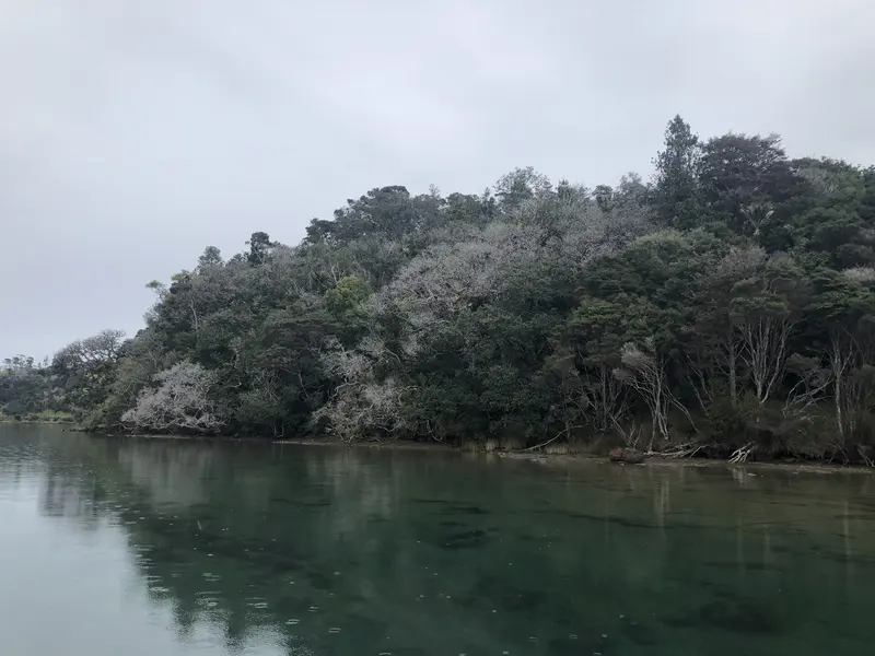
Photo: “Taraire at Te Muri Regional Park” by Shaun Lee, CC BY 4.0, via Wikimedia Commons
Park at a glance
- Region
- Auckland
- Location
- Between Mahurangi West and Wenderholm
- Managed by
- Auckland Council
- Dogs
- No dogs
- Camping
- Yes, see Camping section
Overview
Te Muri Regional Park sits between Mahurangi West, across the Te Muri Stream to the north, and Wenderholm, across the Pūhoi River to the south. Together the three parks form a large area of parkland at the entrance to the Mahurangi Harbour. Te Muri has coastal forest fragments, farmland and Te Muri Beach, a long sandy beach you can swim at in all tides.
There's no road access. You walk in across a tidal estuary or arrive by boat. That keeps Te Muri relatively quiet.
Road closure until 19 December 2026
Overland access is currently closed. A slip on Mahurangi West Road after January's heavy rain closed vehicle access to Mahurangi West, which is where you'd normally park to walk in. The road is due to reopen on 19 December 2026. Until then, you can only reach Te Muri by boat.
Getting there (normal access)
- Park at the top car park at Mahurangi West Regional Park, before Sullivans Bay. It has 25 spaces and is outside the gated area.
- Join the Cudlip Point Loop Track (red markers) and walk south down the farm track to the Te Muri estuary, about 5 minutes.
- Cross the estuary only within two hours either side of low tide.
There's no public access from Hungry Creek Road. Because the access depends on the tide, Te Muri isn't suitable for people with limited mobility.
Walks and tracks
| Track | Time | Distance |
|---|---|---|
| Orange Loop Track | 2 hr | 4 km |
| Purple Loop Track | 3 hr | 4.6 km |
These times don't include the walk over from Mahurangi West and the estuary crossing. The council is still developing walking routes here, so stick to marked tracks and keep out of closed sections.
Things to do
Te Muri Beach
You can swim at all tides, and there's good snorkelling around the rocks at the south end. Land-based anglers try for kahawai and snapper off the Cudlip and Te Muri headlands. Paddle to Sullivans Bay or Wenderholm, or, if you're experienced, head out into Kawau Bay to Motuora Island.
Birdwatchers can look for little blue penguins, dotterels, reef herons and shining cuckoos. Pōhutukawa flower brilliantly here in summer.
Dogs at Te Muri
Dogs are prohibited at all times throughout the park, beach, foreshore, campground and Puhoi Cottage.
Camping and places to stay
Te Muri Beach campground is a back-country campground at the southern end of the beach. You reach it on foot (tide-dependent) or by boat. It has two toilets and safe treated drinking water. You can also book Puhoi Cottage. Volunteer camp hosts can stay free for extended periods; call 09 301 0101 and ask for the northern regional parks office.
Where is Te Muri Regional Park?
The pin marks: Centre of the park area (-36.5193, 174.7038). It isn't an entrance or car park, so check the council's park page for access points before you go. Plan a route on OpenStreetMap (opens in a new tab).
Location data: Auckland Council Park Extents (CC BY 4.0); OpenStreetMap contributors (ODbL 1.0).
Check before you go
Track closures, gate times, fire bans and storm damage change often. Auckland Council posts current alerts for Te Muri Regional Park on its official park page.
Current park alerts