 Otago
Coronet Peak
Queenstown, Otago
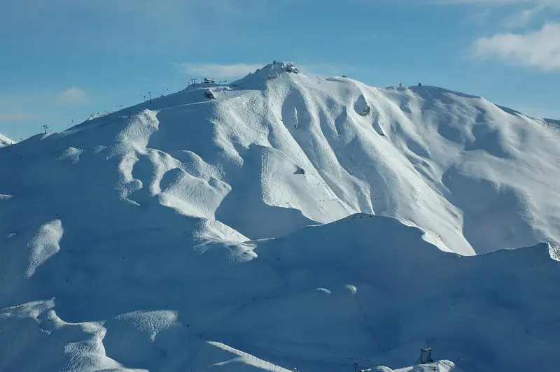
Queenstown's closest ski area, 16 km from town on a fully sealed road, with 280 ha of terrain and night skiing on selected evenings.
Beginner-friendlyIntermediateExperienced only
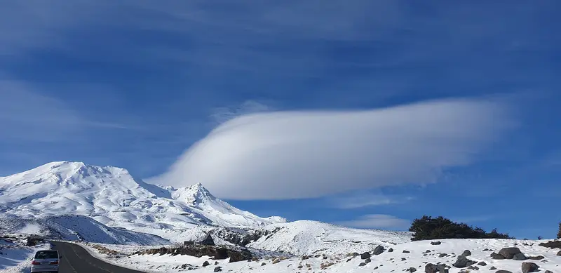
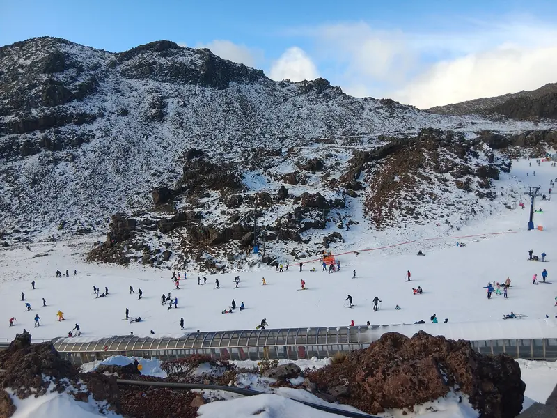
Photo: “Turoa, Mt Ruapehu, New Zealand” by Umedha Shanka Indranath Hettigoda, CC BY-SA 2.0, via Wikimedia Commons
Tūroa is on the southern slopes of Mt Ruapehu, 17 km above the town of Ohakune. The mountain's volcanic landscape shapes the skiing, with wide open runs, natural half-pipes and off-trail terrain, and views across Tongariro National Park.
Tūroa is run by Pure Tūroa Limited under a Department of Conservation concession. Whakapapa, on the northern side of the mountain, is a separate business with its own passes.
| Tūroa | |
|---|---|
| Skiable terrain | 500 ha |
| Highest lift point | 2,230 m |
| Vertical descent | 722 m |
| Lifts | 4 chairlifts, 2 pomas and 1 carpet |
| Terrain | 20% beginner, 55% intermediate, 25% advanced |
That's the highest lifted point of the seven ski areas in our guides. The Mt Ruapehu website describes Tūroa as having New Zealand's highest lifted point and biggest vertical.
The season usually runs from late June to early October. Check Pure Tūroa's website for 2027 dates.
Mt Ruapehu is an active volcano. Check GeoNet's volcanic alert level for Ruapehu before you go, and follow the ski area's safety information.
Whakapapa is on the northern side of Ruapehu. Ohakune is the closest town for accommodation.
The pin marks: Tūroa Ski Area (-39.3007, 175.5419). It shows the general area, not a specific car park, lift or access point, so follow the operator's directions. Plan a route on OpenStreetMap (opens in a new tab).
Location data: OpenStreetMap contributors (ODbL 1.0).
We list operators to help you plan. We're not paid to include them and don't earn commission from these links.
Lift passes, first-timer packages, lessons, rentals, sledding and sightseeing
OtagoQueenstown, Otago
Queenstown's closest ski area, 16 km from town on a fully sealed road, with 280 ha of terrain and night skiing on selected evenings.
 Otago
Queenstown, Otago
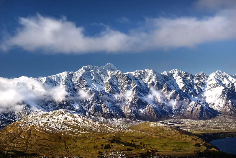
Queenstown's "big mountain", 24 km from town, with one of the South Island's biggest beginner areas, three terrain parks and freeride chutes.
 Otago
Cardrona Valley, between Wānaka and Queenstown
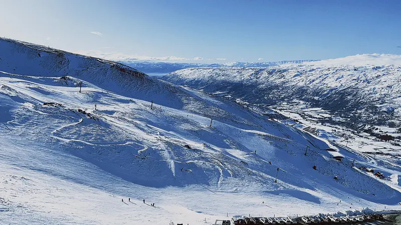
Since Soho Basin opened in 2025, Cardrona has 615 ha of terrain and calls itself New Zealand's largest ski resort. It's known for its terrain parks and a big learner area.
 Otago
Above Lake Wānaka, Otago
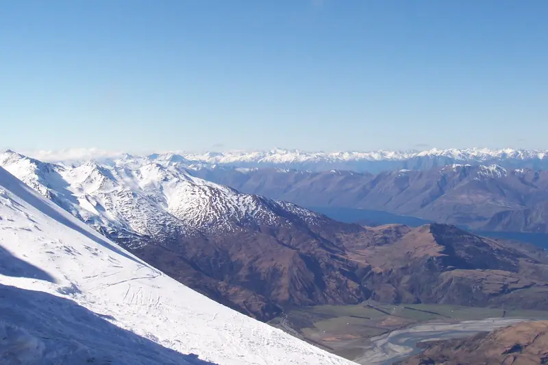
Wānaka's steeper ski area, 30 minutes from town, with 700 m of lift-served vertical, the South Island's longest groomed run (about 4 km) and views over Lake Wānaka.
 Canterbury
Above Methven, Canterbury
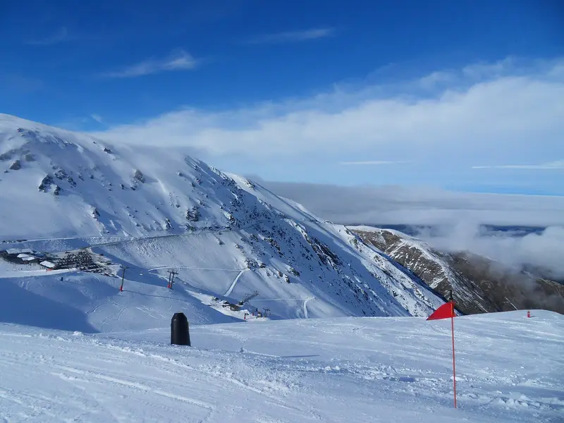
Canterbury's big ski area, 26 km from Methven and about 90 minutes from Christchurch, with 683 m of vertical, four terrain parks and views over the Canterbury Plains.
 Manawatū-Whanganui
Mt Ruapehu, Tongariro National Park
The ski area on Mt Ruapehu's northern slopes, inside dual World Heritage Tongariro National Park, with 12 lifts across 550 ha and a separate learner area, Happy Valley.
Which roads are sealed, where you must carry chains, and the buses and free shuttles that save you the drive.
Read the guideThe best ski areas for first-timers, what's in a first-timer package, and what to rent and wear.
Read the guidePublished 2027 season dates, how the season usually runs, and when the slopes are busiest.
Read the guide